
Old maps tell Aného's history better than many books. From the 17th century to today, the cartographic representation of Petit Popo and its region has evolved, reflecting the territory's political, economic, and environmental transformations. Each era has left its layer: Portuguese navigators traced the first outlines, the Germans measured and gridded, the French administered, and contemporary satellites document the erosion.
The First Maps (17th-18th Centuries)
Portuguese and Dutch navigators were the first to include the Guinean coast on their portolan charts. Petit Popo appears under various names: Popo, Petit Popo, Klein Popo. This specific toponym "Petit Popo" was assigned by the Portuguese to differentiate this thriving trading post from "Grand Popo" (located further east in present-day Benin), a distinction based on the perceived size of the settlements from the Atlantic Ocean. These maps are approximate—longitudes are uncertain, outlines imprecise—but they testify to the site's commercial importance. As early as the 17th century, Petit Popo was an essential landmark for navigators sailing along the formidable Slave Coast.
Dutch cartographer Johannes van Keulen, in his 1680 atlas, places Popo between the Volta and the Mono rivers. The map indicates a possible anchorage and mentions the presence of European trading posts. It is one of the oldest known representations of the region. Annotations in Dutch mention the trade of palm oil and textiles.
The German Surveys (1884-1914)
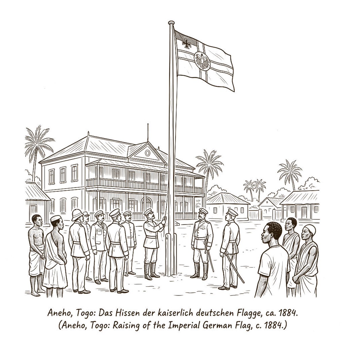
The German colonial administration undertook the first systematic surveys of the territory. Teams of surveyors crisscrossed the colony, equipped with theodolites and surveyor's chains. The German maps, remarkably precise for their time, indicate villages, roads, waterways, and administrative boundaries. They constitute a precious source for understanding the spatial organization of the region before the transformations of the 20th century.
The most detailed map of Togoland, drawn up in 1907 by the German colonial geographic service, shows Aného as an active port. The metal wharf is depicted, as well as the main administrative buildings. Neighborhood names—Lolan, Nlessi, Adjido—already appear. This map served as a reference until the end of the German period.
The French Period and Contemporary Era
French maps (1914-1960), and later Togolese ones, refined the outline. The French National Geographic Institute conducted aerial surveys in the 1950s, introducing aerial photography as a cartographic tool. The 1:50,000 scale maps of the Aného region date from this period and show a growing city.
Recent satellite photos reveal the impact of coastal erosion with clinical precision. The coastline has retreated several hundred meters in a century, swallowing the German wharf and threatening the cathedral. Google Earth images allow a comparison of the coastline between 2003 and 2023: the retreat is spectacular, on the order of 3 to 5 meters (10 to 16 feet) per year in some places.
Where to Consult These Maps
Aného's old maps are dispersed across several institutions. The National Library of France (BnF) holds 20th-century French maps. The Bundesarchiv in Berlin holds the German surveys. The National Archives of Togo in Lomé keep post-independence maps. Digitized versions of some German maps are accessible via the federal archives website. For researchers, the map library at the University of Lomé is the most accessible entry point.